
Identify Independence Township Neighbors by Block
A block question has several parts: which parcels touch, what is the recorded ownership trail, which jurisdiction holds the parcel, and which community organization is relevant. Oakland County map tools and township records handle the first steps. Community groups may offer a public contact channel, but their membership information is not a substitute for an official parcel record. The table separates the sources so Independence Township neighbors can be researched through the custodian that can answer a block question.
| Source | What it shows about a block | Access |
|---|---|---|
| Oakland GIS parcel map | Parcel polygons, adjoining Key PINs, streets, and administrative layers | Online map browse and click |
| Property Gateway or BS&A | Owner or taxpayer fields, situs and mailing fields, values, sales, permits, and taxes where available | Online address or PIN record, subject to municipal report limits |
| Oakland County Super Index | Recorded parties and instruments for a selected parcel | Free index from 1964; older county books and manual records |
| Precinct and ZIP layers | Political, postal, school, municipal, and tax geography | County GIS service, not a person list |
| Community and library sources | Public contact, historical address clues, events, or dated directories | Organization page, office, or local reference collection |
Recorded ownership is not the same as present use. The next parcel can be owned by a person, trust, estate, or entity with correspondence elsewhere. A map result should therefore be described as a property fact, with its source and date, rather than as a conclusion about a person's relationships.
Map Independence Township Neighbors With PINs
Start in Oakland Property Gateway or BS&A with the subject address. Select its parcel polygon and record the Key PIN, situs, municipal label, and legal description. Then click the polygons that actually adjoin it. Open each linked property record separately. Repeat around the physical block, noting cul-de-sacs, lakefront gaps, private roads, easements, and tracts separated by water or a road.
- Find the selected address and confirm its parcel before recording the Key PIN.
- Click each adjoining polygon instead of relying on the apparent street sequence.
- Open the associated property record and note the owner of record, situs, and mailing field as distinct data points.
- Use the deed index when an ownership date or prior recorded party needs confirmation.
- For a full named-road chain rather than the immediate block, use the Independence Township street directory.
Adjacency is a map relationship only. It does not demonstrate a social relationship, shared community membership, or present occupancy. That narrow rule is especially useful for Independence Township neighbors near lakes, subdivision common areas, and irregular Oakland County tracts.
Separate Independence Township Neighbor Address Fields
Property and tax records can carry both a situs address and a mailing address. The situs is where the parcel sits. The mailing field tells the tax custodian where correspondence goes. It might lead to a post-office box, an agent, a trust contact, or a former location. It should never be presented as proof that its recipient lives beside the selected parcel.
- Key PIN
- The unique county parcel identifier used to connect a map polygon to its land-record attributes.
- Situs
- The physical parcel location, separate from a tax correspondence destination.
- Owner of record
- The party shown in the official assessment or recorded-land context at a stated time.
- Legal description
- The lot, block, plat, or section-based land description that persists when an address changes.
Owner, taxpayer, mailing recipient, and occupant are different roles. A principal-residence exemption may support owner-occupancy context for a tax year, but it is not a live confirmation. Labeling these fields accurately is more useful than collapsing them into an unsupported neighbor list.
Note: A different mailing address is a correspondence fact, not evidence that a recorded owner has moved from the parcel.
Overlay Independence Township Neighbor Geography
Oakland County's Enterprise GIS layers include Voting Precinct, Zip Code Area, municipal, school, and tax layers. Compare them after selecting a parcel. A street segment can cross the City of the Village of Clarkston boundary even when mail uses Clarkston. A block can also meet a different school district, precinct, or ZIP area than the address beside it.
These overlays supply geographic context. They do not identify voters, parents, participants, or everyone connected to a district. The separate municipality matters when seeking a permit, clerk, or local file, because the City of the Village of Clarkston is independent from Independence Charter Township. Confirm the municipal layer and the property record before contacting a custodian.
Respect Independence Township Neighbor Boundaries
Michigan Voter Information Center is an individual address service. A person enters a residential street number, street name, city, state, and ZIP to retrieve personalized registration and election information. It does not provide a public screen to browse every Independence Township neighbor. Michigan does not have party registration, and ballot choices are not public fields.
A public version of the Qualified Voter File is handled through the Bureau of Elections under the current request process. Sensitive identifiers are excluded, and protected or Address Confidentiality Program fields are withheld. The ordinary MVIC screen and public voter-file access are distinct processes. Treat precinct and ZIP layers as geography, not as a substitute for personal registration data.
Find Independence Township Neighbor Contacts
Local groups can help people find public points of contact, but the research found no open township-wide community roster. The Independence Township Sheriff Substation at 6560 Citation Drive has a Neighborhood Watch registration and update path for associations. It is a program-coordination tool, not a household directory. The local nonemergency number is 248-620-4968; dispatch is 248-858-4950; the Sheriff's Records Unit is 248-858-5011.
| Organization | Local connection | Public contact or directory status |
|---|---|---|
| Deer Lake Farms | Private lakeside community with 150 homes | Dues-status and contact tools; no open member directory located |
| Independence Valley Subdivision Association | 57 custom homes around Round Lake | Newsletter, committees, and update-contact links; no full roster |
| Sheriff Neighborhood Watch | Association registration or update through the Independence substation | Safety-coordination path; full contact roster is not public |
| Clarkston Area Chamber | Area includes Independence Township and Clarkston city | Business and civic member directory at its office, not a household record |
The Chamber's office is at 5856 S. Main in Clarkston, with 248-625-8055 published for contact. Clarkston Calendar also lists area organizations and events. Voluntary contacts and event listings should not be recast as proof of block residency.
Read Independence Township Neighbor History
For an earlier block, the local address sources are useful only as dated snapshots. The Oakland County Historical Society shelf list identifies North Oakland criss-cross editions from 1957, 1958, and 1960, a South Oakland Address Telephone Directory from 1954, and Bresser's South Oakland Cross-Index from 1967–68. Start in the street section, preserve the edition, year, and page, and then verify a name in the alphabetical section before treating it as an address lead.
Older entries may use Clarkston, a county-area label, or a rural route rather than today's form. Compare the dated listing with a deed, census, historic survey, or other independent source. A historical neighbor record can place an address in time, but it cannot prove a current connection or identify every person associated with the parcel.
Compare Independence Township Neighbor Sources
The official parcel method has clear custodians and dates: GIS parcel map, assessment record, deed index, and then a public community contact when appropriate. Compiled commercial neighbor tools may merge property, marketing, and social information from different moments. Those records can be stale, merged across similar names, overinclusive, or missing an updated official correction.
| Source category | Best use | Key limit |
|---|---|---|
| Official parcel, assessor, and deed records | Verify a parcel, recorded party, legal description, and dated instrument | Does not establish every person currently at an address |
| Public civic or association contact pages | Find a published organization contact or event channel | Membership and private contact information are not a block list |
| Compiled commercial neighbor category | Use only as an unverified lead to check with the original custodian | May be inaccurate, stale, or expose material that should remain private |
When an official record seems wrong, save the PIN, document number, date, and source URL, then request a correction or clarification from the original office. Correcting a compilation does not change the county's underlying parcel or deed record.
Use Michigan PSOR for Township Neighbors
Michigan State Police Public Sex Offender Registry provides official name, registration-number, street, city, county, ZIP, and radius search modes. Address-radius choices are .25, .5, 1, 2, and 5 miles. It is a specific public-safety registry, not a general neighbor directory or a complete criminal-history source. The public list cannot be downloaded wholesale, and victims are not identified.
The Michigan PSOR search page shows the address and radius options available for a careful, limited official search.
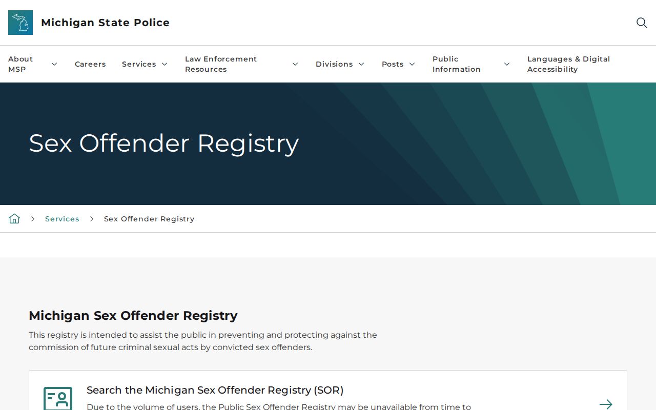
Read a registry result only within the registry's stated scope, and verify time-sensitive information directly with the responsible agency.
Set Privacy Limits for Independence Township Neighbors
Some information must stay outside a block lookup: unlisted phone or email information, utility and delivery customer records, motor-vehicle addresses, protected voter records, Address Confidentiality Program participants, private association membership, and sealed or juvenile case material. Adjacent parcels do not prove a social connection. They simply describe parcels that share a boundary or sit nearby.
Michigan's Address Confidentiality Program uses a designated address for eligible people at risk of harm. It protects actual addresses in government records. Respect portal restrictions, avoid collecting more than the question requires, and contact the right office when a record is incomplete or seems inaccurate.